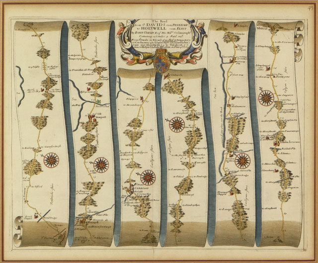
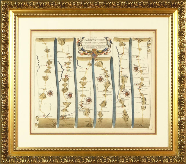
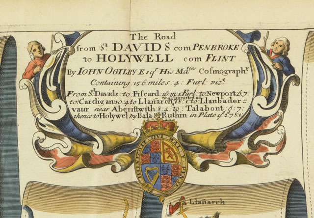
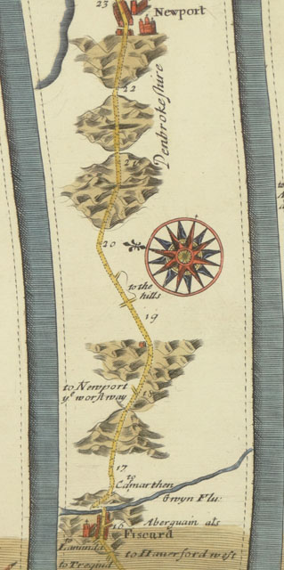
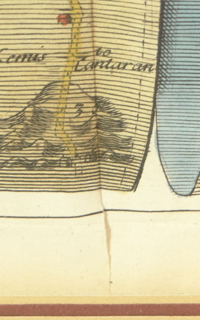
327 - Later Printing Probably 18th Century London England 1675 Copperplate Engraving with Later Hand Coloring. J. Ogilby, Mapmaker. Ogilby is perhaps best known for his series of road-maps entitled the "Britannia", which was the first road-atlas of any country, published in 1675. The atlas was an immediate success, being reprinted many times and was much copied by other map-makers. The Road from St.David's, Pembroke to Holywell, Flint. Containing 146 miles 4 furlongs.From St.David's to Fiscard 16m.1f. to Newport 6.7., to Cardigan 10.4., to Llanarch 18.1., to Llanrusted 163, to Llanbader-vaur near Aberistwith 8.4., to Talabont 6.7., thenceto Holywel by Bala